
10 years after the lost Malaysia Airlines flight, satellite tech remai
This month marks 10 years since the disappearance of Malaysia Airlines Flight 370 (MH370), perhaps the best-known continued aviation vanishment since Amelia Earhart in the 1930s. That a Boeing 777—which carries up to several hundred people and, in 2014, cost in excess of a quarter-billion dollars—was able to completely drop off all satellite feeds and communications channels (and by manual settings in the cockpit) was astounding 10 years ago.
As that situation unfolded, Fast Company built a model that analyzed its most likely locations, many of which indeed ended up as the principal search areas. A decade later, while much indirect evidence points to a crash that left no survivors, we never pinpointed a location nor recovered a plane.
So, what has—and hasn’t—changed in satellite technology and search-and-rescue a decade on? Let’s dive in.
What Hasn’t Changed
Many modeling breakthroughs don’t apply
A decade later and there are still no clear modeling breakthroughs. Ultimately, models remain limited by the inputs. In the case of MH370, the plane’s last set of possible locations has been inferred indirectly from periodic automated pings from the plane to an Inmarsat satellite called a handshake. The location uncertainty from each handshake is a set of circumferences a given distance away from a prior such one, creating expanding circles of uncertainty over time that represent possible airplane locations. This still offers an extremely large search area, given that there were seven handshakes after the plane disappeared off radar. Essentially, you’re left looking for a needle among several haystacks.
Battery technology still limits the best search time
Battery technology can still hamper plane recovery. The black box battery—if fully operational—typically allows for a beacon to be sent out for 30 days before dying (although in MH370’s case, an expired battery may have meant an even shorter time period). Just like many murders are solved within 48 hours, so are most planes found within 30 days.
There are exceptions to this 30-day window of recovery, however. The remains of space pioneer and entrepreneur Steve Fossett’s plane in Nevada took over a year to recover after his disappearance in 2007, despite the high profile nature of the case because of its small profile and remote landscape. And it took search-and-rescue ops nearly two years to locate Air France Flight 447’s black boxes, in 2011.
Because these cases are exceptional, and the difficulty (and cost) of retrofitting planes to autonomously track throughout a flight regardless, most commercial aircraft today still have a 30-day black-box limitation window; after that, the chances of recovery are dramatically reduced.
What Has Changed
However, there have been some improvements to the type of general modeling work that can be employed to narrow down the location of MH370.
Modeling Trends
As the cost of computing has gone down, so has the cost of running lots of calculations with models. While this is of limited utility to MH370, such probabilistic models are used not only in the world of finance, but on the backend of apps like determining an ETA for an Uber (which is done in a data center, and then sent back to the phone). This technology was in super-early days in early 2014 but is now mainstream and has scaled worldwide to ascertain best guesses to problems that have some element of natural variance or randomness in them. In the future, this will make it easier to quantify and assign likelihoods to uncertainties that before, would have been too expensive and impractical to grapple with.
Isotope Reconstruction
Other indirect techniques could be promising for reconstructing where the plane’s remains are likely located. On MH370 recovered pieces (mostly found due West across the Indian Ocean), barnacle species whose growth corresponds to different temperatures can, combined with modeling, identify plausible routes that the debris floated, which would be consistent with the temperatures for that species’ development. This means that you could try to backtrack where the debris started from, and thus the crash site. It will, however, take much more careful work to reduce uncertainty. A map of ocean-surface temperatures, especially in the seldom-visited Southeast Indian Ocean west of Australia, is not highly developed.
Finally, for the airplane, you need to ultimately know its exact location. The search areas in the subsequent years after MH370’s disappearance widened in scope and expense to cover over many hundreds of square miles of surface area intensively. The Australian government, through 2018, developed and presented a variety of models from more conventional drift modeling to specific ocean areas off the West Coast of Australia. And while these were developed and refined long after MH370’s black box beacon would have died and debris drifted well away from wherever it first landed, applied immediately afterward to a future such disappearance can create more constrained, likely sets of search areas known earlier in a search-and-rescue operation (which increases the likelihood of success).
Maybe MH370 Awaits a Similar Fate as the Titanic?
It took nearly 70 years to rediscover the Titanic. Within several generations, the technology of mapping the ocean floor had improved considerably that, in the 1980s, it became a feasible but unlikely discovery.
If MH370 largely landed intact in the water—as evidenced by the relative dearth of debris found thus far relative to the 777’s immense size—then the relatively anoxic environment of the ocean floor should preserve it for centuries to come.
Most of the ocean floor remains unmapped, but perhaps our best bet will be for as-yet-not-conceived advances that allow us to map all parts of the ocean floor with great precision, uncovering many more shipwrecks in the process—and perhaps the remains of MH370.
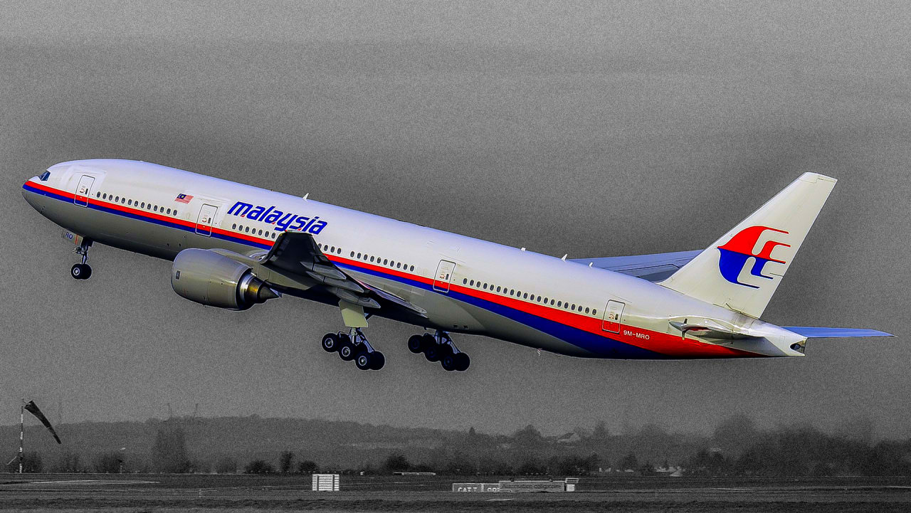
Denial of responsibility! Techno Blender is an automatic aggregator of the all world’s media. In each content, the hyperlink to the primary source is specified. All trademarks belong to their rightful owners, all materials to their authors. If you are the owner of the content and do not want us to publish your materials, please contact us by email – [email protected]. The content will be deleted within 24 hours.